Map skills might very well be one of my favorite topics to teach! I’m not sure why, but I do have many great memories of heading out on a family vacation and being allowed to look at the map and trace the progress of our route along the way. Long before satellite maps and GPS mapping, we used paper maps. I suppose that makes me a bit old. It does give me, however, a bit of an advantage when teaching map skills in the classroom. I find it very helpful to first use paper maps, then move to satellite maps with my fifth grade students. I think there is much to be said for a student being able to physically hold a map, explore it, and identify their location before progressing to a more abstract, computer map.
Here are 5 ideas for introducing and teaching map skills to your students:
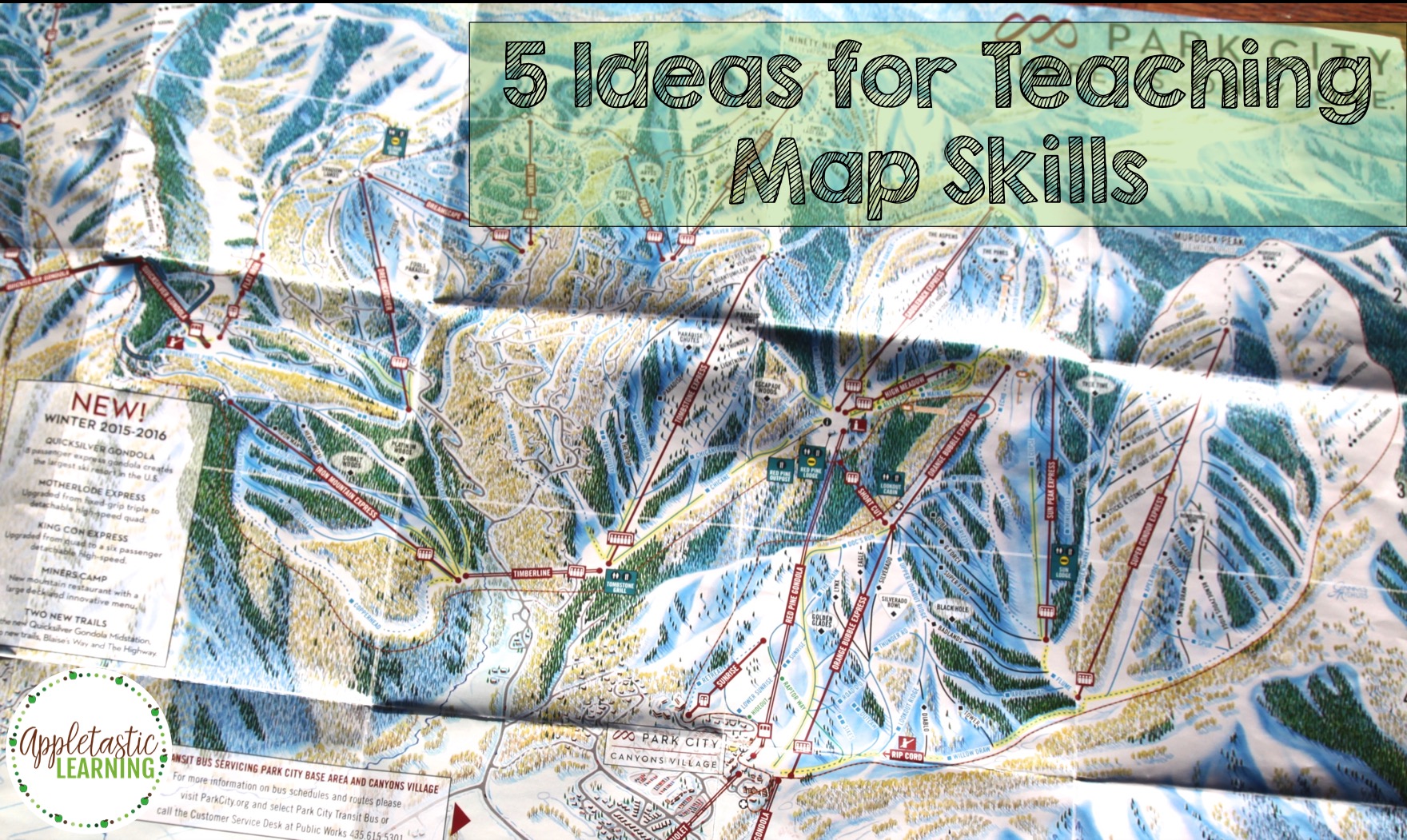
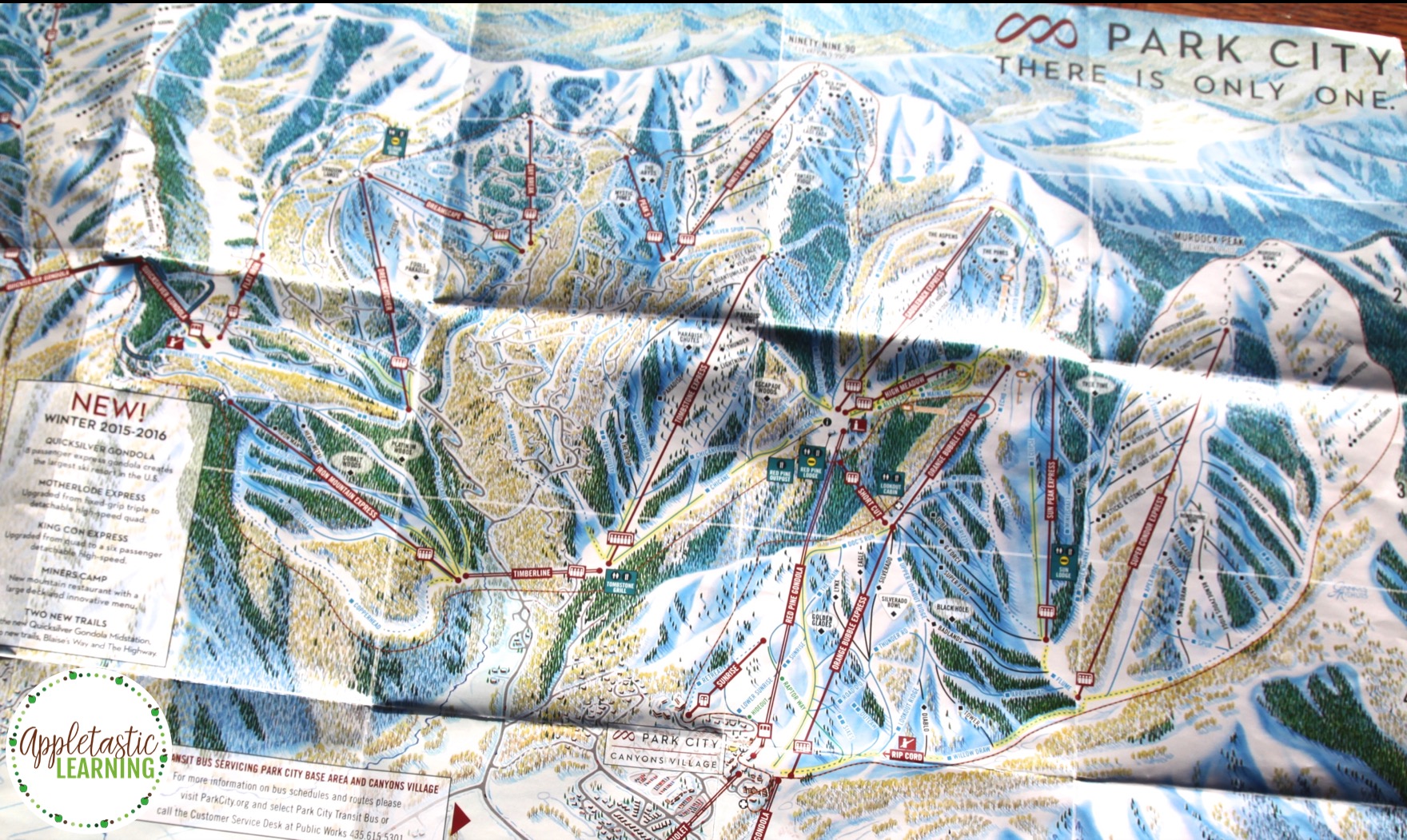
1. Have a Map Collection Day! Assign your students to bring in any paper maps they can find at home. Allow any type of map that is available. Some suggestions would be maps of amusement parks, nature trails, roads and highways, ski resorts, pirate treasure hunts, local rivers, running race routes, town-wide garage sales, etc. The list really can be quite large. It helps to brainstorm this list of possible maps with your class before assigning the collection. It is possible that some students will not have access to any maps in their homes. My suggestion to them is to find a map online and print it out. The printed, paper version will work fine for this activity.
Once students have gathered a large variety of maps, start exploring them together. Make a list of the types of maps collected. Begin building some background knowledge and content vocabulary, such as compass rose, map key, and scale. Have a discussion about how each map is helpful in different types of situations. Display the map collection around the room, and have students travel in small groups from map to map, observing and exploring the variety of maps. I find this Map Collection Day very valuable in building excitement about our map skills unit!
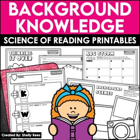
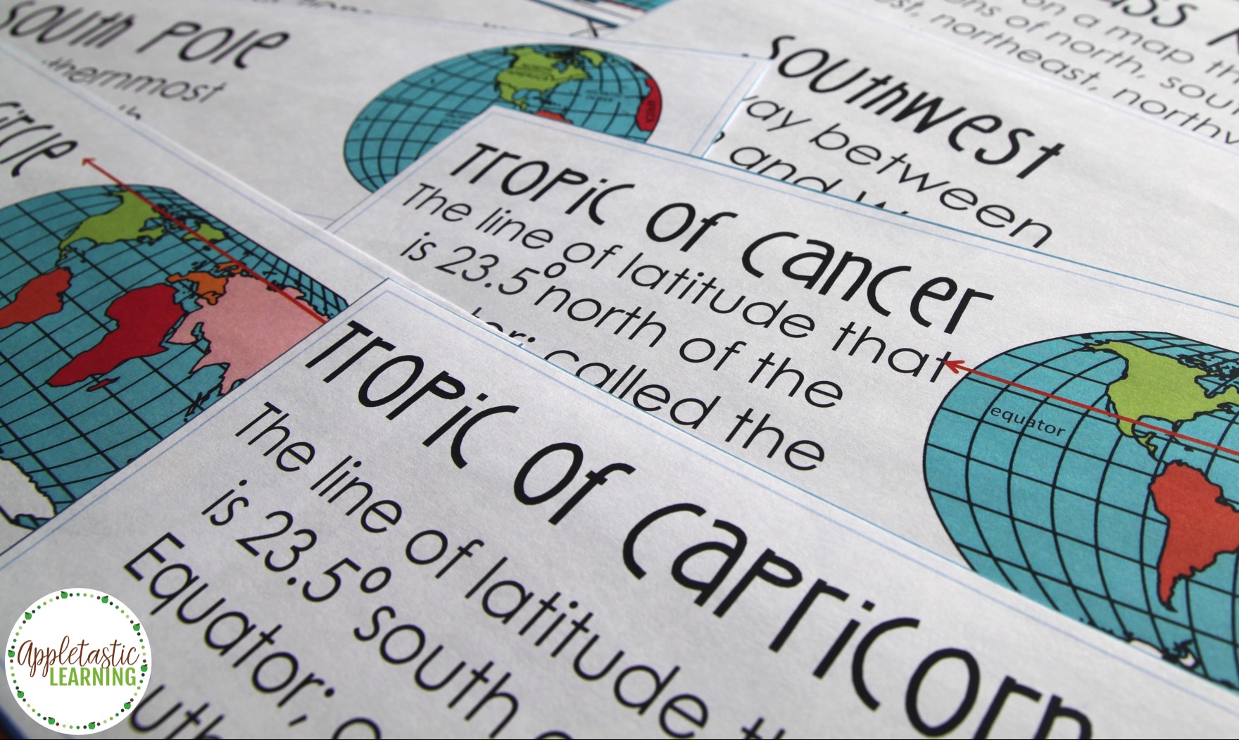
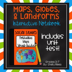
2. Introduce and Teach Specific Map Skills Vocabulary. Just as with any topic, do not assume that your students all know the difference between east, west, north, and south or that they know what a map legend or scale is. Take the time to teach each map skills vocabulary term they should know. My fifth graders have Social Studies notebook, where we add the terms and the meanings. We also draw or give visual examples of each word. For example, I want my students to be able to correctly name, define, and give examples of 4 main types of maps: physical, weather, political, and road. First we write the definitions beneath the interactive foldable as shown below. Then, we label each of the 4 examples and glue them into our notebooks. This creates a nice visual reference that is easily accessible in each child’s notebook.
3. Find and Label Examples. Now that students have a solid grasp on vocabulary of map skills, go back to the map collection from the first step. Divide the students into small groups and give each group a stack of Post-It notes. (I use a different color of Post-Its for each group so that I can easily identify which group left which labels.) Have the groups rotate around the room, looking again at each map. This second time around will definitely be more in-depth. Each group should now use the sticky notes to label the maps with their new vocabulary knowledge. They will identify things such as north, south, east, west, compass rose, scale, route, etc., as well as what specific type of map (political, road, weather, physical) they are looking at.

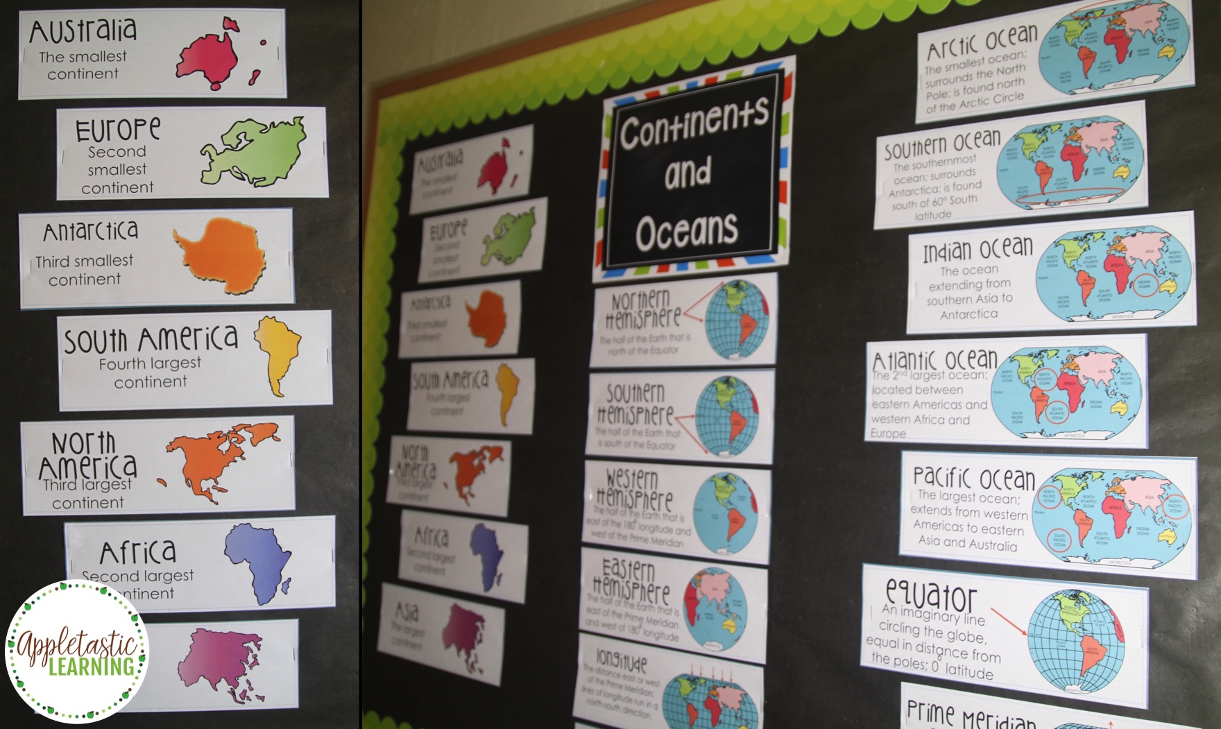
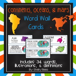
4. Expand Your View. It is time now to expand students’ view of the world. Once they understand how maps work and how to read them more accurately, they are ready to gain a larger picture of the world. My fifth graders are expected to identify, name, and correctly spell the major continents and oceans of the world. I create a bulletin board, which reinforces this concept and helps students learn the order of the continents from smallest to largest. Sometimes, students have a misconception that the continent upon which they live is the biggest land mass in the world. This is only true for students living in Asia!
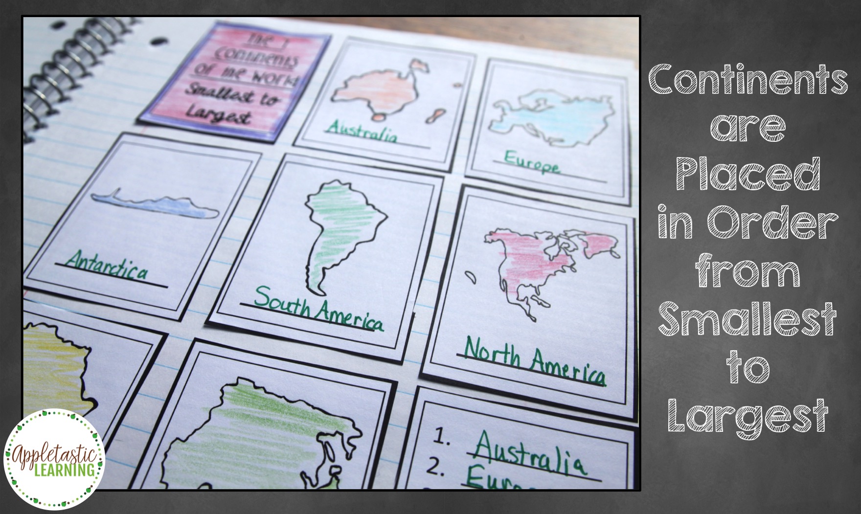

In our notebooks, we do 3 things to have a better understanding and mastery of this concept:
First, we simply color a pre-labeled world map. Continents are colored green, and oceans are colored blue. That map is then cut out and glued into our notebooks.
Second, students color a second map the same way, but this map is not labeled. Students use a word bank to fill in the names of the continents and oceans.
Third, I provide each student with a page with the 7 continents. They color, label, and cut out each continent, then glue them into their notebook in order from smallest to largest.
Here is a video showing how to create the Continents and Oceans Interactive Notebook I use with my students.
If you are interested, you can purchase this Continents and Oceans Interactive Notebook HERE in my store.
5. Go Digital. At this point, I feel that my students are ready to move to computer-based maps and projects. I use a variety of websites and applications to further explore and understand map skills. Here are a few of my favorite online map activities:
Satellite Imagery and Change Over Time: This National Geographic activity allows users to use satellite map images to observe changes to certain regions over time. Students can then draw conclusions about what has caused these changes.
Place Spotting: This is a website of geographic riddles based on the Google Earth platform. Students can solve geographic riddles or create their own, using Google Earth. Pretty cool stuff!
GeoGames from Reach the World: This is a site with some great, easy-to-use online, geographical games for students. Your class can place continents into the correct position and in harder games, correctly move countries and rivers into place.
GeoNet: This geography quiz game from Houghton Mifflin has a variety of levels within maps of the United States or the World. It’s a great way to keep students interested and challenged!
I have found a great deal of success in utilizing these 5 ways to teach map skills in my fifth grade classroom. I’d love to hear your thoughts and ideas on this topic! Please feel free to share in the comments below!
If you are looking for some other map activities, please feel free to check out these helpful resources:
Check out these other blog posts for ideas on teaching social studies concepts in a fun and engaging way.

Hi, I’m Shelly! Thank you for being here. I love helping third, fourth, and fifth grade teachers with fun and engaging activities that require no to little prep! Let me help you by taking some of the stress and work off your plate.
©2022 Shelly Rees. All Rights Reserved.